


Visitors to Historic Mill Creek learn about the Campbell and Dousman families and their employees operating the saw and grist mills and farm at the site. What happened next?
The mills ceased operating in 1839. Michael Dousman died in 1854. In 1856 the Mill Creek property was subdivided. At least one parcel was sold to William W. Wendell of Mackinac Island. Around 1860 the millstones from the gristmill were obtained for the James Myers mill south of Cheboygan. The Wendell property was tenant farmed by Charles and Angeline Bennett from just after the Civil War into the early twentieth century.
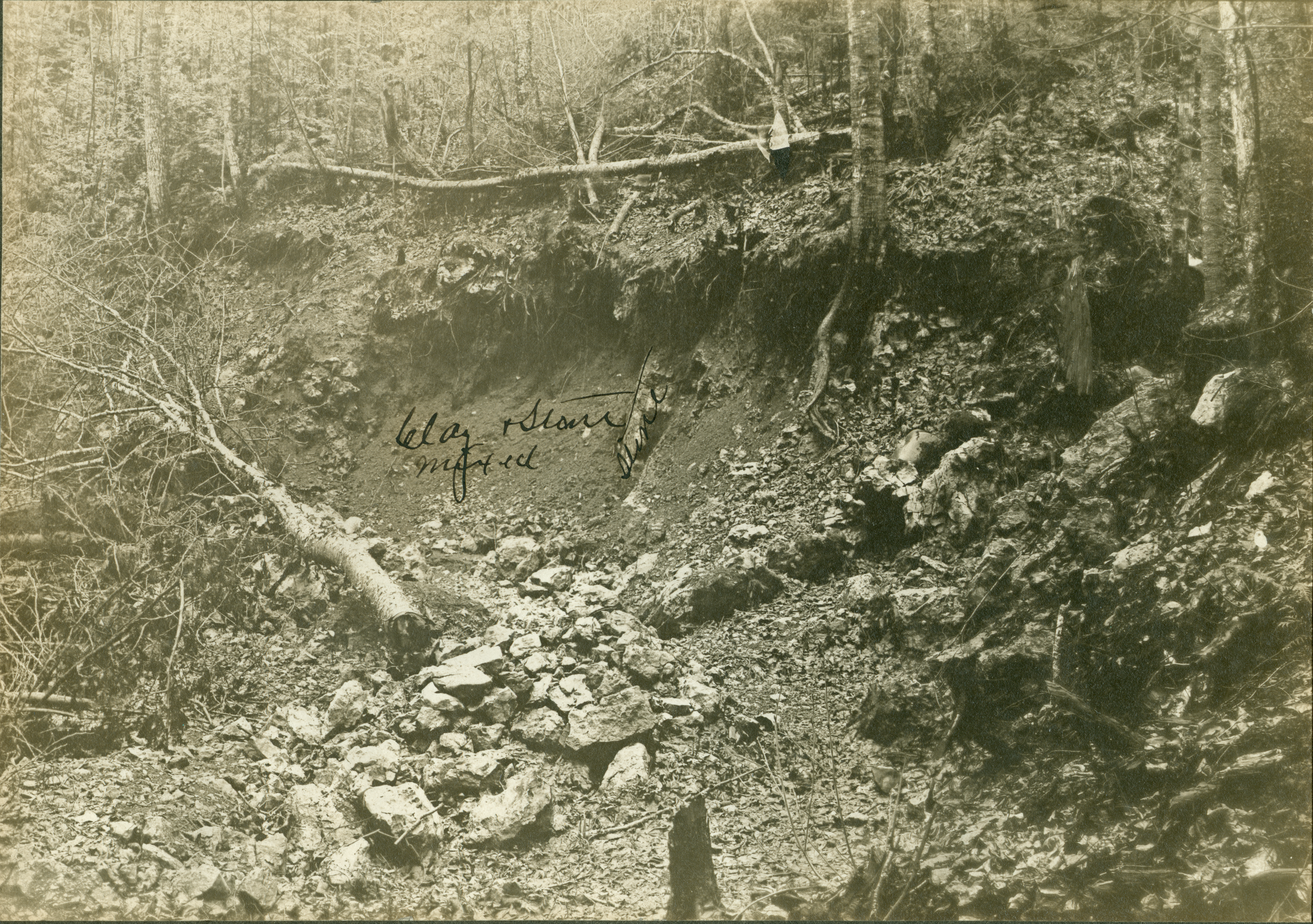
While the mills were operating, the nearest community was Mackinac Island and most travel to and from the site was by boat. In 1835 Lieutenant Benjamin Poole of the U.S. Army surveyed the route for a potential military road between Saginaw and Mackinac, which would have terminated at “Dousman’s Saw Mill.” No road was constructed at that time. In 1862 the Duncan, Alpena and AuSable River State Road was surveyed. The field notes mention the “Old Mill Site.” This road eventually became the Old Mackinaw Road, portions of which are still in use east of the park. The abandoned road cut is still visible east of the saw pit demonstration area and forms part of the exit road from the parking lot. The Old Mackinaw Road was replaced with the current alignment of U.S. 23 in the 1920s and ‘30s.
In 1881 the Detroit and Mackinac Railroad laid tracks through the property. The workmen who were constructing the bridge across Mill Creek found a brass plaque inscribed:
Here lieth the Body of
John Annan Late Corpl
in the 2nd Battn 60th Regt
Who departed this lif feby 10
Anno domini 1771
aged 51 years
No remains were discovered, and the plaque is long gone, but John Annan is known to have served with the British army at Michilimackinac and died on that date, probably in a wood-cutting accident. The train tracks were removed in the early 1990s, and the grade is now part of the multiuse North Central State Trail.
During the first two decades of the twentieth century, the property was quarried for limestone by the Petoskey Mackinac Lime Company. In the 1950s most of the parcels making up the Campbell/Dousman claim reverted to the State of Michigan and became part of Hardwood State Forest.
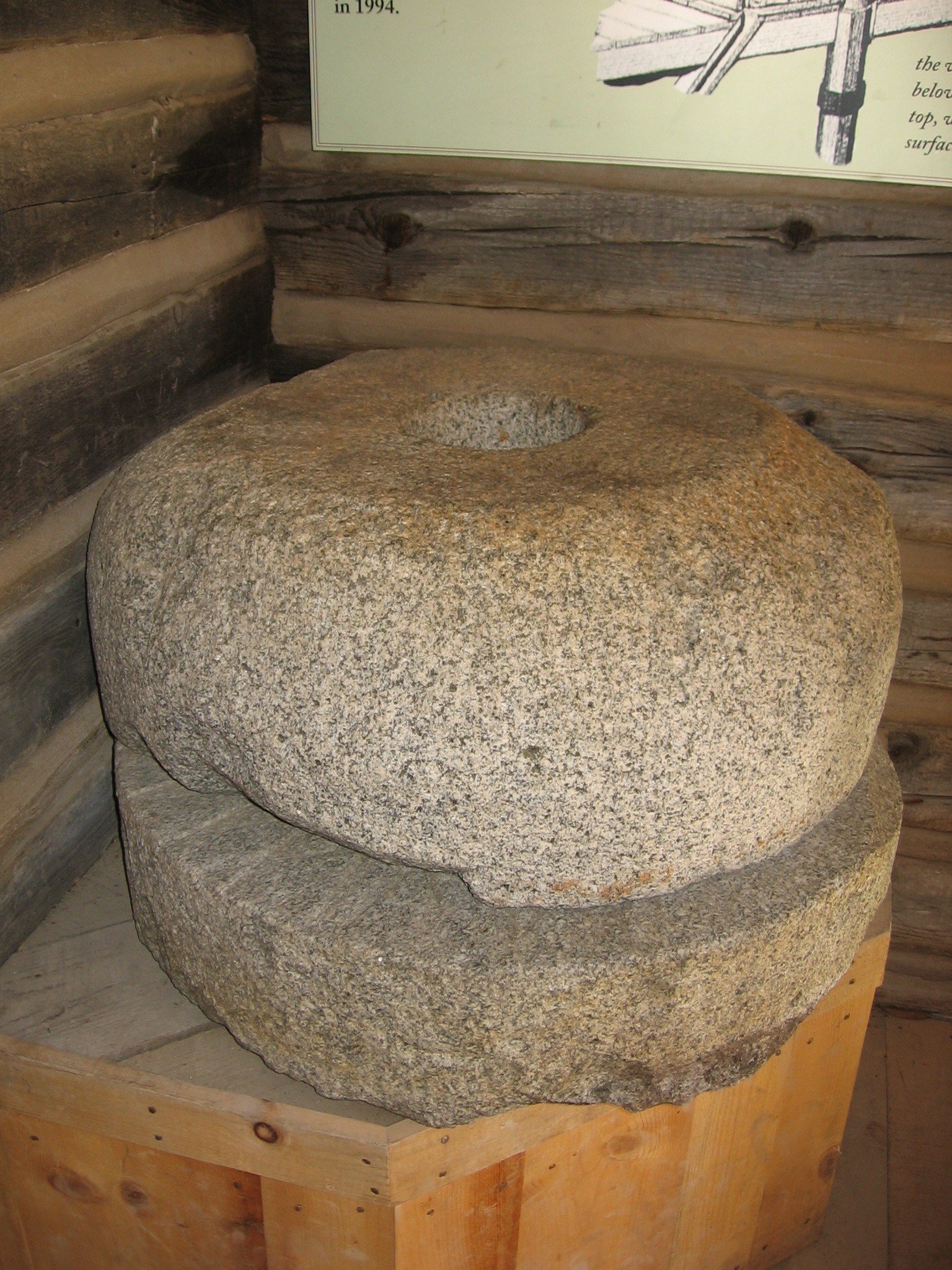
In 1968 one of the original gristmill stones was discovered at the site of the Myers mill, which had closed in the late 1880s. This inspired local historian Ellis Olson to search for the original mill site, which he discovered in 1972. Following archaeological excavations in 1972-1975 the property was transferred to the Mackinac Island State Park Commission in 1975. The commission carried out additional excavations and developed the site into Historic Mill Creek, which opened to the public in 1984.
Information for this post was obtained from:
Armour, David A.
1996 Historic Mill Creek. MSHP. – WATCH FOR AN UPDATED VERSION IN 2019!
Martin, Patrick E.
1985 The Mill Creek Site and Pattern Recognition in Historical Archaeology. Archaeological Completion Report Series 10. MISPC.
For more information about Historic Mill Creek, or to order either of these books, please visit www.mackinacparks.com.